Programmes
Developing LiDAR for spacecraft proximity operations
Vimotek is developing new LiDAR sensing capability for spacecraft operating around other objects in orbit, together with Algoryx Simulation and the Robotics and AI group at Luleå University of Technology.

Vimotek has received SEK 3.6 million in support from the Swedish National Space Agency, Rymdstyrelsen, to develop LiDAR technology for satellite navigation and proximity operations.
The project brings together Vimotek, Algoryx Simulation and the Robotics and AI group at Luleå University of Technology, combining expertise in sensing, simulation and robotics.
The work addresses an increasingly important challenge for future space operations: enabling spacecraft and robotic systems to understand other objects around them as they approach, inspect or interact with them.
Sensing for spacecraft in proximity
LiDAR — Light Detection and Ranging — uses laser-based measurements to detect objects and determine their relative distance and geometry.
For spacecraft, this information can be particularly valuable during rendezvous and proximity operations, where another spacecraft or object becomes part of the mission itself.
Rymdstyrelsen describes the project as targeting applications including proximity navigation, robotics and inspection, with wider relevance to future space logistics and exploration.
For Vimotek, the project is focused on developing sensing capability that can support spacecraft as operations move from long-range navigation towards increasingly precise interaction with other objects.
Combining sensing, simulation and robotics
Developing sensing technology for space requires more than the sensor itself.
The system ultimately has to function as part of a wider spacecraft operation, where sensing, navigation, control and mission behaviour interact.
The project therefore combines three areas of expertise.
Vimotek leads development of the LiDAR sensing technology. Algoryx Simulation contributes advanced simulation capability, while Luleå University of Technology contributes expertise and infrastructure in robotics, control systems and proximity navigation.
Simulation and representative testing will be used alongside the hardware development to evaluate the technology in conditions relevant to its intended applications.
This allows the sensing capability to be developed with the wider mission context in mind rather than as an isolated component.
Enabling future in-orbit operations
The need for reliable relative sensing is expected to grow as spacecraft take on more complex tasks in orbit.
Inspection, servicing, maintenance, logistics and robotic operations all require spacecraft to operate safely and precisely around other objects. In many of these missions, the ability to detect and characterise a target and understand its relative position is a fundamental enabling capability.
Vimotek’s LiDAR project is aimed at building Swedish technology for these emerging applications.
The work also connects directly with Vimotek’s focus on rendezvous and proximity operations, where sensing and relative navigation are central to making close interactions between spacecraft possible.
Building capability in Sweden
The project is supported through Rymdstyrelsen’s national technology-development programme, which aims to stimulate innovative development of space infrastructure and technologies for future activity in space.
By bringing together a Swedish space technology company, simulation expertise and academic robotics research, the project creates a foundation for developing and testing new capability within Sweden.
For Vimotek, the objective is clear: advance the sensing technology needed for spacecraft to operate more safely and effectively around other objects — enabling future rendezvous, inspection, robotics and proximity operations in space.
Related stories
Programmes
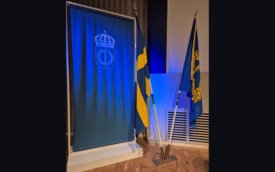
Validating spacecraft-encounter technology for defence applications
Vimotek has participated in Sweden’s Civil-Military Innovation Programme to validate how spacecraft-encounter technology can support defence-related space operations and strengthen Swedish capability.
Programmes
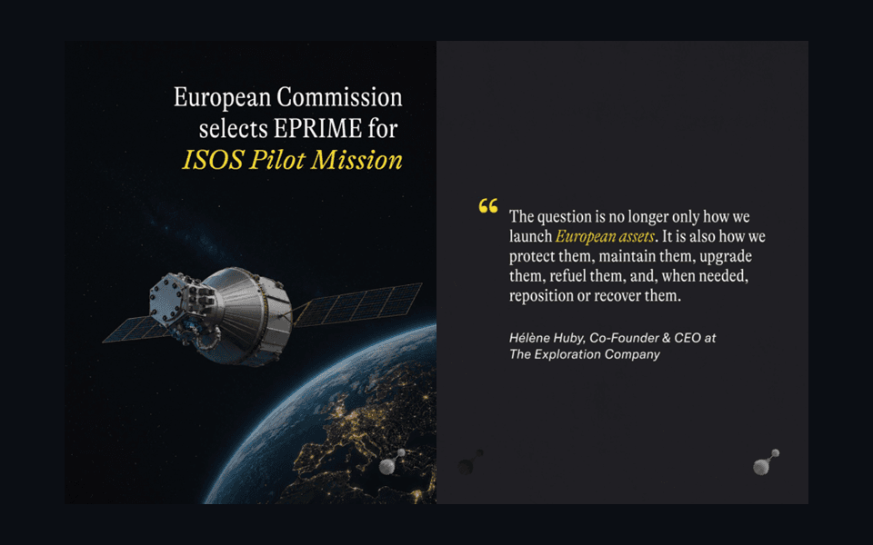
Mission-specific digital twins for Europe’s EPRIME in-orbit infrastructure
Vimotek is contributing to EPRIME, a Horizon Europe project developing a modular European platform for in-orbit logistics, servicing, refuelling and robotic experimentation.
Programmes
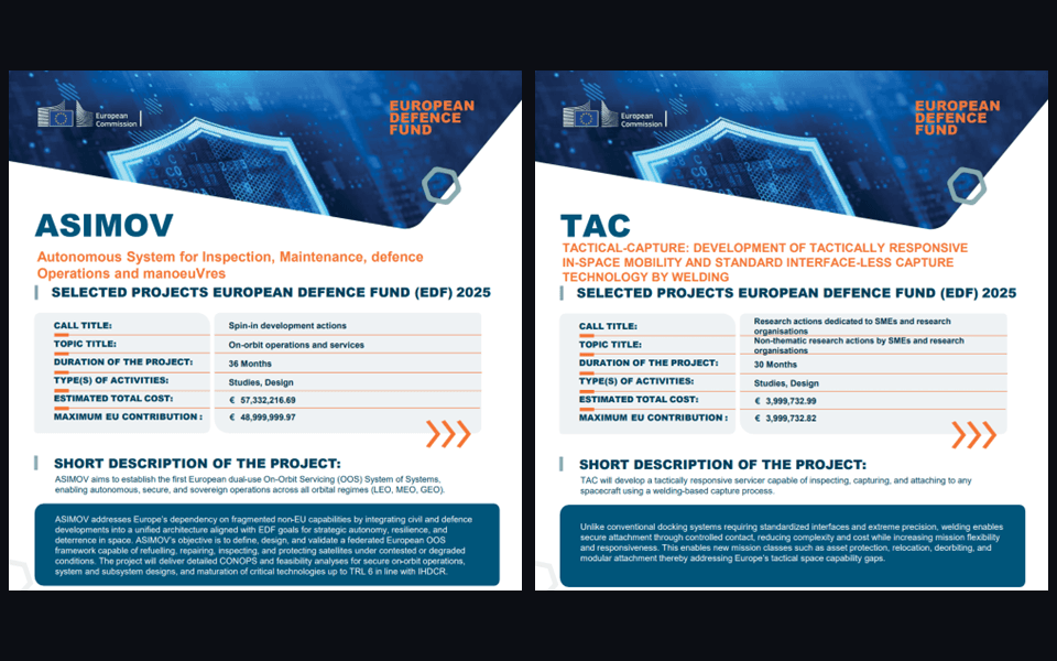
Two new European Defence Fund projects for on-orbit operations
Vimotek is participating in ASIMOV and TAC, two projects selected under the European Defence Fund 2025 programme to advance European capabilities for on-orbit servicing, inspection, capture and secure spacecraft operations.